US RIVER MAPS
Showing 49–60 of 79 results
-

North Dakota- Rivers & Lakes Map
$149.00 – $269.00 -

Ohio – Rivers & Lakes Map
$169.00 – $289.00 -
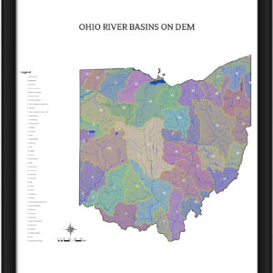
Ohio River Basins
$229.00 -

Ohio Watershed Map
$149.00 – $269.00 -

Oklahoma – Rivers & Lakes Map
$149.00 – $289.00 -

Oregon – Rivers & Lakes Map
$169.00 – $289.00 -
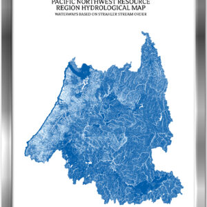
Pacific Northwest Watershed Map
$229.00 – $329.00 -

Pennsylvania – Rivers & Lakes Map
$149.00 – $269.00 -

Rhode Island – Rivers & Lakes Map
$169.00 – $289.00 -

Rio Grande Watershed Map
$149.00 – $269.00 -

Souris Red Rainy Watershed Map
$149.00 – $269.00 -

South Atlantic Gulf Watershed Map
$149.00 – $269.00